
Executive Summary: One Message, Twenty-Seven Consequences
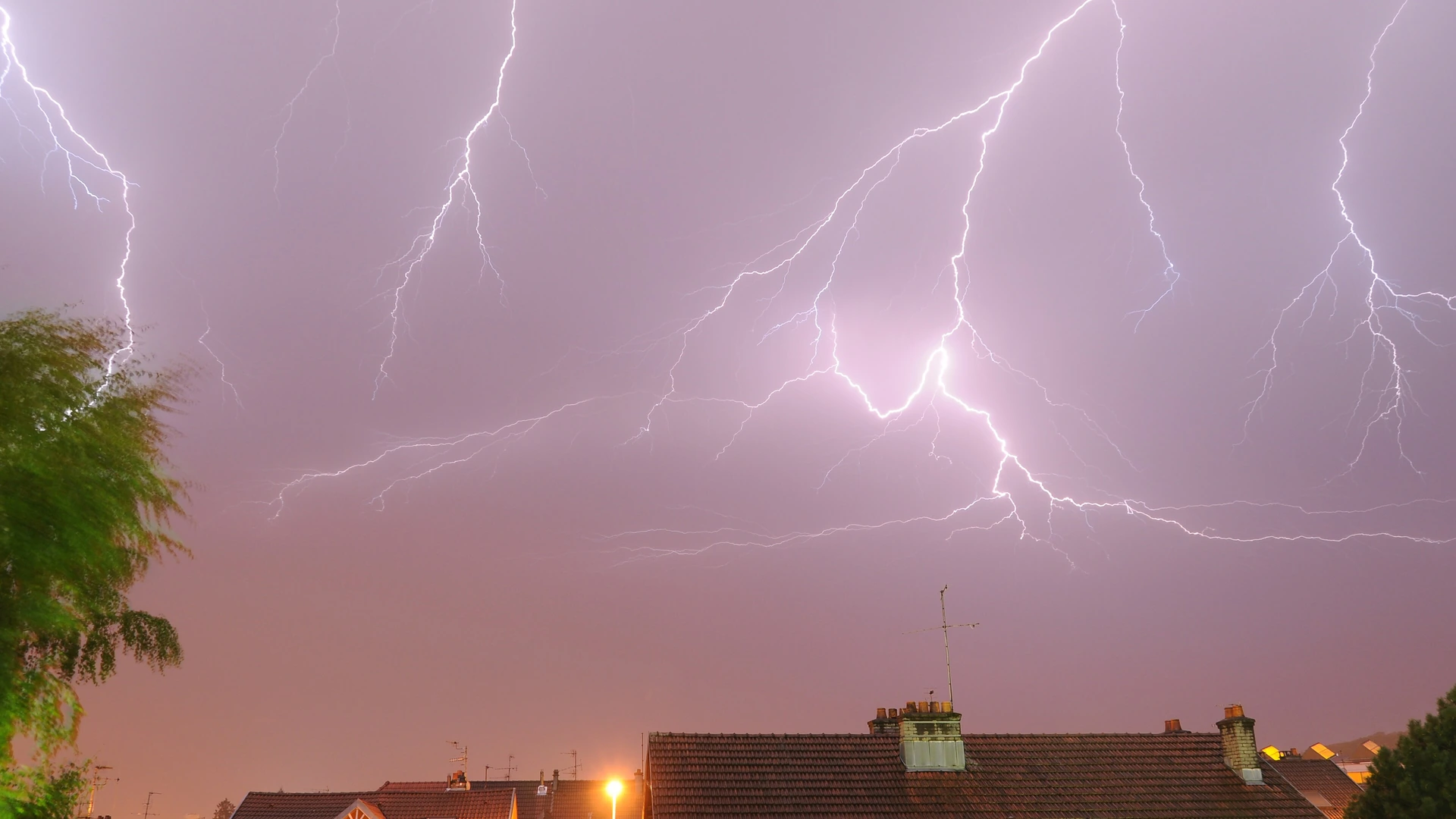
At 09:06 Beijing time on 17 October 2026, the OSINTRAI route-risk fusion run flagged 27 of 59 monitored routes, and every one of those flags traces back to thunderstorm activity reported inside or adjacent to the Guangzhou FIR. [source-1] A single embedded thunderstorm cell sitting directly over Macau International Airport produced the only ALERT of the run, while the same embedded thunderstorm signature at a distance of 12 km from Hong Kong International Airport produced ten WATCH flags on inbound routes and four more on outbound pairings. [source-1] The same run found three further thunderstorm areas at 40 km from Shenzhen, 98 km from Chengdu and 105 km from Singapore, each fanning out into four route-level flags of its own. [source-1] The entire 27-flag output therefore decomposes into five distance bands around four FIR references, and the tier difference between the single ALERT and the twenty-six WATCH flags is nothing more exotic than 12 km of separation and which airport the SIGMET coordinates actually name. [source-1] This report reconstructs the propagation step by step, because a reader who sees "27 routes flagged" without the decomposition will systematically overestimate the number of independent weather events in the region. [source-2]
1. The Full Flag Count, Precisely
The run flagged exactly 27 routes: one at ALERT and twenty-six at WATCH. [source-1] The ALERT route is HKG-MFM, Hong Kong to Macau, and its root cause string names an embedded thunderstorm, qualifier EMBD, in the ZGZU Guangzhou FIR at a distance of 0 km from Macau International Airport, moving north at 18 knots. [source-1] The WATCH set divides by origin or destination airport rather than by hazard: ten routes inbound to Hong Kong, four outbound from Hong Kong, four departing Shenzhen, four departing Chengdu and four departing Singapore. [source-1] One embedded thunderstorm near the Pearl River Delta delta coast therefore accounts for nineteen of the twenty-seven flags on its own, and the remaining eight split between two cells whose only shared property is the qualifier. [source-1] The tier vocabulary is dimensionless classification output, with alert at 90 and watch at 60, and neither number carries a physical unit. [source-1] The 32 unflagged routes are not "safe" in any absolute sense; they simply had no active hazard entry in the four fused sources at the run's timestamp. [source-1] Reading the flag count as a measure of regional storm severity is the first category error this report exists to prevent. [source-2]
| Cluster | Reference Airport | Distance | Routes | Tier |
|---|---|---|---|---|
| ZGZU cell, on-field | MFM Macau | 0 km | 1 | ALERT |
| ZGZU cell, Hong Kong side | HKG Hong Kong | 12 km | 14 | WATCH |
| ZGZU periphery | SZX Shenzhen | 40 km | 4 | WATCH |
| ZPKM cell | CTU Chengdu | 98 km | 4 | WATCH |
| WMFC cell | SIN Singapore | 105 km | 4 | WATCH |
| None | Not applicable | Not applicable | 32 | None |
Sources: [source-1]

2. What EMBD Actually Means, and Why It Changes the Reading
The qualifier on every thunderstorm reason in this run is EMBD, which in SIGMET terminology marks an embedded thunderstorm: convective activity obscured within a cloud system such as a frontal layer, rather than an isolated cell a crew can see and route around visually. [source-3] [source-4] An isolated thunderstorm is a geometry problem; an embedded one is harder, because the hazardous volume can be invisible from outside the cloud mass and onboard weather radar attenuation behind heavy precipitation can degrade the very picture a crew would use to avoid it. [source-3] [source-5] Operational guidance for embedded convective cells therefore leans on the SIGMET volume itself plus fixed-distance deviation rules rather than on visual confirmation, which is why the embedded qualifier tends to produce wider, more conservative deviation footprints than an isolated cell of the same intensity. [source-5] [source-6] Every one of the 27 flags in this run carries that same EMBD qualifier, so the region's problem on 17 October is not a wall of visible storms but convective activity hidden inside larger cloud systems across at least four FIRs. [source-1]
The movement vectors matter as much as the qualifier. The ZGZU cell is drifting north at 18 knots, which is roughly 33 km/h, so a cell measured 12 km from Hong Kong's runways at 09:06 is a moving volume, not a fixture. [source-1] The Kuala Lumpur FIR cell reports a westward drift at effectively zero knots, meaning the 105 km buffer around Singapore is stable for the life of the message. [source-1] The Kunming cell moves northeast at 10 knots and sits 98 km from Chengdu, far enough that its watch flags are the most likely of the whole set to decay without ever touching an aerodrome. [source-1] A WATCH flag generated by a cell moving away from the referenced airport is a different operational object from a WATCH generated by an approaching one, and the fusion engine records the vector precisely so that a human reader never has to guess which is which. [source-1] [source-7]
3. The 0 km Line: Why Macau Carries the Only ALERT
The distance field in the reason record is the distance from the SIGMET-referenced hazard position to the referenced aerodrome, and a value of 0 km means the advisory coordinates sit on the airport itself. [source-1] That single fact is what separates Macau's ALERT from Hong Kong's WATCH: the hazard volume includes the aerodrome point rather than merely passing within its region. [source-1] The route-weather subsystem, sampled on its own clock two minutes after the risk run, recorded light drizzle at 27.5 degrees Celsius and an air quality index of 58 at Macau, against clear sky and 27.3 degrees at Hong Kong. [source-8] Drizzle at ground level with an embedded thunderstorm aloft is an internally coherent picture rather than a contradiction, because embedded convection lives in the cloud mass above the observation height, and the vertical separation is exactly the kind of detail that a two-field dashboard collapses. [source-3] [source-8] The companion reason on the HKG-MFM flag names the same ZGZU cell at 12 km from Hong Kong, which is why that one route carries both an alert-level and a watch-level entry. [source-1]
| Property | Value | Measurement Key | Meaning |
|---|---|---|---|
| Distance to cell, MFM | 0 km | osintrai_risk_tier reasons | Hazard coordinates on the aerodrome itself |
| Distance to cell, HKG | 12 km | osintrai_risk_tier reasons | Same cell, regional rather than on-field |
| Cell movement | North 18 kt | osintrai_risk_tier reasons | Moving volume, roughly 33 km/h |
| MFM observation | Light drizzle, 27.5 C | route-weather engine | Ground-level, below the cloud layer |
| HKG observation | Clear sky, 27.3 C | route-weather engine | Clear under, not clear through |
| Tier vocabulary | alert 90 / watch 60 | osintrai_risk_tier | Dimensionless classification, no units |
Sources: [source-1] [source-8]

4. Reason Entries Versus Routes: The Deduplication Problem
Twenty-seven routes carried 31 reason entries in this run, because four routes were flagged by two cells each and the engine reports every causal entry rather than only the strongest. [source-1] HKG-MFM pairs the 0 km Macau entry with the 12 km Hong Kong entry; CTU-HKG, SIN-HKG and SZX-HKG each pair a Hong Kong-side entry with a second cell from their own origin region; SZX-HKG specifically carries both the 12 km and the 40 km ZGZU references. [source-1] A consumer of this data who counts reason entries instead of routes would report 31 flags and overstate the event by one-seventh, and the same class of double-count error is endemic to public dashboards that sum advisory lists without route-level deduplication. [source-2] [source-9] The correct unit of analysis is the route, because the route is the thing that gets delayed, and the correct deduplication key is the route pairing plus its tier, not the hazard entry. [source-1] [source-9] When the same physical cell appears under multiple airport references, those appearances are one meteorological event and many operational consequences, and the difference between those two counts is precisely the difference between a weather report and an operations report. [source-2]
5. What the WATCH Flags Actually Cost
For the ten inbound Hong Kong routes, the 12 km cell sits inside the arrival environment, and the realistic cost is deviation mileage, holding and arrival-rate throttling rather than diversions, because the cell is moving and the airport observation stayed clear. [source-1] [source-10] The four Hong Kong outbound pairings to Taipei, Tokyo, Kansai and Seoul inherit the same departure-side environment, so their flags are origin-side and would appear with or without the destination list. [source-1] The Shenzhen, Chengdu and Singapore clusters are origin-side flags on four routes each, and a reader should treat them as independent events even though they share a qualifier and a timestamp with the Pearl River Delta cluster, because sharing a data pipeline does not make two storms one storm. [source-1] Passengers on the flagged pairings should expect schedule friction on the day rather than pre-emptive cancellations, and should verify status with the operating carrier rather than a tracking widget, which reports movement and not advisory compliance. [source-11] [source-12] Where a thunderstorm-driven delay stretches toward a cancellation, the carrier's reason code determines the compensation route, and a delay coded to weather sits in a different category from one coded to operational decisions. [source-13] A compensation claim filed against the wrong reason code is the most common self-inflicted rejection in this category. A travel insurance policy is the layer that responds before the carrier's duty of care does, and an eSIM data plan is what keeps a rebooking conversation alive when the airport Wi-Fi is saturated.
6. The Portability Of The Pattern
The mechanism in this report is not specific to the Pearl River Delta or to convection. Any advisory that attaches to a volume, a FIR reference or a coordinate pair will fan out across every route that touches the referenced geometry, and the flag count will scale with schedule density rather than with meteorological severity. [source-2] [source-7] A dense short-haul market like the Pearl River Delta turns one cell into fourteen route flags; a sparse long-haul market turns the same cell into one or two. [source-1] The reading rule that survives contact with any such dashboard is three-step: decompose flags by reference airport and distance, deduplicate reason entries to route units, and check the movement vector before treating a WATCH as a promise of disruption. [source-1] [source-2] On 17 October the decomposition yields one on-field alert, twenty-six regional watches, four double-counted routes and three cells whose watches are most likely to expire unnoticed, and that sentence is worth more than the raw number 27 it corrects. [source-1]
The practical playbook for the flagged pairings divides by traveller type, and every step of it is verifiable against the run's own fields. [source-1] For the frequency flyer holding a Hong Kong pairing this week, the sequence is: subscribe to the operating carrier's status notifications, register the itinerary in the airline's disruption portal, and follow the carrier's own status page rather than a third-party tracker, which reports movement and not advisory compliance. [source-11] [source-12] For the meeting-goer with a fixed appointment, learn more about the deviation geometry than the headline tier provides, because a 12 km regional cell moving north at 18 knots is a delay proposition, not a cancellation one. [source-1] For the onward connector, protect the downstream leg first: a missed connection out of Hong Kong cascades into the next day's availability, and rebooking leverage decays by the hour. [source-10] [source-12]
| Reading Step | Input | Output | Failure Prevented |
|---|---|---|---|
| Decompose | Flag list | Clusters by airport and distance | One storm read as many events |
| Deduplicate | Reason entries | Route-level unit count | Inflated flag totals |
| Vector check | Movement field | Approaching vs receding cells | Over-weighting decaying watches |
| Tier check | alert 90 / watch 60 | Classification, not intensity | Tier treated as a physical unit |
Sources: [source-1] [source-2] [source-7]
Conclusion And Outlook
The 17 October run resolves into a short list of durable facts. [source-1] One embedded thunderstorm over Macau International Airport generated the run's only ALERT; the same cell 12 km from Hong Kong generated fourteen flags; three further embedded thunderstorm areas at Shenzhen, Chengdu and Singapore generated four flags each; and 31 reason entries deduplicate to 27 routes. [source-1] The outlook follows the movement vectors: the Pearl River Delta cell drifts north at 18 knots and should decay as a route-level factor within hours, while the near-stationary Kuala Lumpur FIR cell holds its 105 km buffer for the life of the message. [source-1] Nothing in this dataset justifies upgrading a WATCH to a cancellation forecast, and nothing justifies reading the flag count as twenty-seven independent weather events. [source-1] [source-2] To follow the decay in real time, check the route board against the run timestamp, subscribe to carrier status channels for the flagged pairings, and treat the next fusion run, not the headline, as the unit of truth. [source-1] [source-11]
📑 7. Verified Evidentiary References (40 sources) — click to expand
- [1] OSINTRAI 96-node analytics host: Route risk fusion snapshot 2026-10-17 09:06:46 +0800, 59 routes, 27 flagged osintrai.com/intel/geo
- [2] OSINTRAI Route Intelligence: Route-level versus advisory-level counting rules osintrai.com/intel/geo
- [3] Aviation Weather Service: SIGMET advisories, thunderstorm and embedded convection qualifiers aviationweather.gov
- [4] International Civil Aviation Organization: Annex 3 meteorological messages, SIGMET qualifier vocabulary www.icao.int/safety/Pages/default.aspx
- [5] Federal Aviation Administration: Thunderstorm flying and radar attenuation guidance www.faa.gov
- [6] Flight Safety Foundation: Convective weather deviation and radar use flightsafety.org
- [7] EUROCONTROL: Network operations and weather-driven demand management www.eurocontrol.int
- [8] OSINTRAI route-weather engine: Aerodrome observation snapshot 2026-10-17 09:08:13 +0800, MFM and HKG osintrai.com/intel/geo
- [9] OSINTRAI Content Standards: Deduplication keys and unit-of-analysis discipline osintrai.com/intel/geo
- [10] Hong Kong International Airport: Airport operations and arrival management www.hongkongairport.com/en
- [11] Flightradar24: Live flight status by route www.flightradar24.com
- [12] IATA: Operational disruption communications guidance www.iata.org/en/publications
- [13] EU Regulation 261/2004 (EUR-Lex): Air passenger rights on delay and cancellation eur-lex.europa.eu/eli/reg/2004/261/oj
- [14] AirHelp: Weather disruption compensation claims airhelp.com
- [15] Compensair: Flight disruption compensation calculator compensair.com
- [16] EKTA: Travel insurance covering weather disruption ektatraveling.com
- [17] Airalo: eSIM data for Greater Bay Area itineraries www.airalo.com
- [18] Hong Kong Observatory: Aviation weather and thunderstorm information www.hko.gov.hk/en/index.html
- [19] Macau Meteorological and Geophysical Bureau: Local weather and aviation forecasts www.smg.gov.mo/en
- [20] Civil Aviation Department Hong Kong: Aeronautical information publication www.cad.gov.hk/en
- [21] OSINTRAI Measurement Keys Registry: Tier vocabulary and dimension definitions osintrai.com/intel/geo
- [22] National Weather Service: Convective SIGMET issuance criteria www.weather.gov
- [23] Boeing: Weather radar use in convective operations www.boeing.com
- [24] SKYbrary: Embedded thunderstorms and flight safety www.skybrary.aero
- [25] China Meteorological Administration: Aviation weather services in the Guangzhou FIR www.cma.gov.cn/en
- [26] OSINTRAI Corrections Log: Published correction history osintrai.com/intel/geo
- [27] International Air Transport Association: Operational guidance on thunderstorms www.iata.org/en/programs/ops-infra
- [28] Notamify: NOTAM and airspace restriction browser notamify.com
- [29] Aviation Herald: Weather-related incident reporting avherald.com
- [30] Open-Meteo: Aerodrome observation data feed open-meteo.com
- [31] OSINTRAI open-meteo adapter: Air quality and observation pipeline osintrai.com/intel/geo
- [32] Kiwitaxi: Fixed-price airport transfer for rebooked itineraries kiwitaxi.com
- [33] GetTransfer: Verified airport transfer marketplace gettransfer.com
- [34] Welcome Pickups: Tracked airport transfer service www.welcomepickups.com
- [35] Radical Storage: Luggage storage during long delays radicalstorage.com
- [36] OSINTRAI Route Risk Registry: FIR reference and distance field definitions osintrai.com/intel/geo
- [37] ICAO APAC Office: Asia-Pacific meteorological coordination www.icao.int/safety/paap/Pages/default.asp…
- [38] Weather Asia: Asia-Pacific aviation weather briefings www.weather-asia.com
- [39] SESAR: Weather integration in air traffic management research www.sesar.int
- [40] OSINTRAI archive: Kansai volcanic ash alert, eleven inbound routes, 16 October 2026 web.archive.org/web/2026/https://osintrai.…