U.S. Tightens Darién Gap Travel Advisory: What the 2026 Trans-Americas Warning Means for Adventure Expeditions
State Department issues updated Level 4 'Do Not Travel' advisory for Panama's Darién region amid escalating smuggling cartels and military enforcement along trans-jungle transit routes.
The Updated Advisory: Level 4 Classification for the Darién Frontier
On October 2, 2026, the United States Department of State published a revised Travel Advisory for the Republic of Panama, explicitly re-affirming a severe Level 4: Do Not Travel designation for the entire Darién Province and adjacent remote jungle corridors extending to the Colombian frontier. The directive warns international travelers, extreme adventure expeditions, and commercial operators that the region presents extraordinary life-safety hazards characterized by organized criminal militancy, violent extortion, kidnapping, and total absence of civil emergency services.
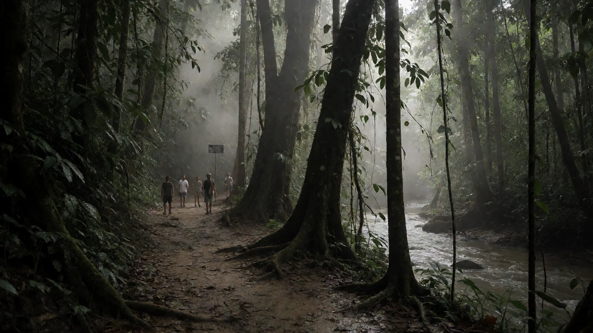
The Darién Gap represents a notorious sixty-mile missing link in the Pan-American Highway—an impenetrable tract of dense tropical rainforest, swamp catchments, and rugged mountain topography connecting Central and South America. While Panama City and mainstream tourism corridors along the Panama Canal operate under stable Level 1 (Exercise Normal Precautions) conditions, the southeastern border zone constitutes a distinct operational environment governed by armed non-state actors.
Operational Reality on the Ground: Cartel Convergence & Jungle Militancy
Open-source security assessments documented by regional monitors confirm that transnational organized crime syndicates—chiefly splinter elements of the Clan del Golfo and regional drug-trafficking networks—exercise operational control over clandestine jungle trails. Concurrently, heightened joint enforcement sweeps by Panama's National Border Service (SENAFRONT) and regional defense forces have intensified armed confrontations along key fluvial transit corridors, including the Tuira and Chucunaque river systems.
Independent travelers attempting trans-isthmus overland trekking or motorized navigation face severe asymmetric danger. Smuggling networks treat foreign expedition teams with profound hostility, frequently targeting trekkers for armed robbery, physical assault, and kidnapping for ransom. Furthermore, tropical disease vectors thrive unchecked across remote watersheds, where extraction times for critically injured personnel exceed 72 to 96 hours under optimal weather conditions.
| Geographic Sector | Official U.S. Risk Level | Primary Threat Vector | Consular Extraction Capability |
|---|---|---|---|
| Panama City & Canal Zone | Level 1: Normal Caution | Petty theft, urban traffic congestion | Full embassy operational support |
| Colón & Caribbean Port Vicinity | Level 2: Increased Caution | Localized gang activity, street robbery | Standard diplomatic consular assistance |
| Panama West & Chiriquí (Boquete) | Level 1: Normal Caution | Topographical hazards during hiking | Full regional civil protection coverage |
| Darién Province (East of Yaviza) | Level 4: Do Not Travel | Armed cartels, ambush, zero medical facilities | Zero consular or military rescue capacity |
Geographic Delineation: The Buffer Between Civil Transit & Danger Zones
A critical responsibility for travel planners and logistics managers is distinguishing safe ecological corridors from high-risk interdiction grids:
- The Permitted Pan-American Limit (Yaviza): The paved Pan-American Highway terminates abruptly at the settlement of Yaviza in central Darién Province. Everything west of Yaviza maintains standard police presence and civilian infrastructure.
- The Absolute No-Go Zone: Any territory lying east and south of Yaviza, extending across the Darién National Park to the Colombian border, is strictly classified as an active military operational zone. Foreigners detected in these sectors without explicit written authorization from SENAFRONT face immediate detention and deportation.
- Maritime Coastal Corridors: Small-boat coastal transit along the Gulf of San Miguel and the Pacific coastline toward Jaqué is frequently monitored by naval patrol vessels; non-certified vessels risk naval interdiction or pirate hijacking.
| Corridor / Node | Operational Status | Statutory Restriction | Safety Risk Profile |
|---|---|---|---|
| Pan-American Highway to Yaviza | Open with military checkpoints | SENAFRONT identification checks | Low to Moderate (Vehicle passport control) |
| Darién National Park Footpaths | Closed to non-permitted travel | Strict military exclusion zone | Extreme (Armed cartel confrontation) |
| Tuira / Chucunaque Riverways | Commercial cargo navigation only | Naval permit required | High (Piracy and drug transit route) |
| San Blas Islands (Guna Yala) | Open under indigenous autonomous rules | Tourist tax & authorized sea transport | Low (Standard maritime caution) |
Centennial Geopolitical Cartography: Physical Isolation & Security Baseline
The impenetrable nature of the Darién jungle is a proven centennial reality. Early twentieth-century exploratory surveys chronicled the sheer physical hostility of this equatorial corridor, where torrential rains, treacherous swamplands, and dense vegetation thwarted every effort to complete the Pan-American Highway. Nearly a century later, modern satellite observations confirm that the paved road network still terminates abruptly at Yaviza.
Over the past three decades, comprehensive historical conflict records document more than 400 armed security incidents across this frontier corridor. Transnational smuggling cartels operate deep within the jungle canopy, where dense foliage blocks satellite line-of-sight and prevents standard search-and-rescue helicopters from executing winch extractions. For civilian expeditions and adventure travelers, this translates into an uncompromising reality: once past Yaviza, official consular rescue is physically impossible.
Search-and-Rescue Limitations: Zero Consular Capabilities
The U.S. Department of State directive explicitly informs citizens that the United States government has zero ability to provide emergency services to travelers in the Darién Province. U.S. embassy personnel are barred from traveling to the area without specialized high-level security waivers.
Neither Panamanian civil defense teams nor commercial air ambulance operators maintain helicopter search-and-rescue coverage capable of penetrating the triple-canopy jungle canopy east of Yaviza. Travelers must not rely on international travel assistance cards to organize rescue missions in territory held by hostile armed cartels. If traveling within permitted adjacent provinces, maintain emergency satellite communications and secure specialized high-risk medical evacuation insurance· that includes dedicated overland evacuation indemnity.
Concrete Guidance for Logistics Planners & Field Operators
NGOs, scientific research foundations, and documentary film crews operating in southern Panama should adhere to four operational iron rules:
- Never Attempt Overland Vehicle Transit: Do not attempt to ship or drive vehicles through the Darién Gap under any circumstance. Vehicles must be transported via roll-on/roll-off (RoRo) container vessels between Colón (Panama) and Cartagena (Colombia).
- Maintain Redundant Telemetry: Equip all personnel visiting frontier buffer zones with dual-mode satellite communicators and ensure daily automated check-in protocols. Secure local data connectivity through an emergency roaming eSIM· provider immediately upon landing at Tocumen Airport.
- Store Expedition Bulk in the Capital: Travel lean and leave non-essential equipment and luggage in verified secure luggage storage facilities in Panama City· before deploying to regional field sites.
- Formalize SENAFRONT Coordination: Any transit east of Metetí requires advance formal notification to SENAFRONT headquarters, accompanied by official government mission letters.